

Keylang地形図
地図をクリックすると標高が表示されます。
Keylang
Kyelang is accessible from Manali via the Manali-Leh Highway, a part of NH21. It is located about 71 km (44 mi) north of Manali at an altitude of 3,080 m (10,100 ft) and used to remain cut off from the outside world for six months from late October to mid-May due to heavy snowfall at Rohtang pass until the opening of Atal Tunnel in October 2020. Keylang is now accessible year round, but road blocks can occur in winter lasting several days. The peak travel season is during May–June and October, when a lot of tourists visit Rohtang pass and Atal tunnel. There are many buses in summer from Kulu and Manali.
この地図について
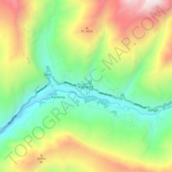
名前:Keylangの地形図、標高、地勢。
平均標高:3,823 m
最低標高:2,877 m
最大標高:5,320 m
その他の地形図
地図をクリックすると、その地形、その標高、その地勢が表示されます。

