
Pattithanam地形図
地図をクリックすると標高が表示されます。
Pattithanam
Pattithanam is a village near Ettumanoor in the Kottayam District of Kerala, India. The name 'Pattithanam' is believed to be given by the Portuguese traders, who were looking for an ideal spot to build a church (St.Boniface Church). Pattithanam(Pattia Sthanam) means ideal place in Malayalam. Pattithanam village is the point of highest altitude on Main Central Road (MC Road). The early settlers in Pattithanam played a major role in establishing the educational and religious institutions in this area. During the early days, the nearest market was Athirampuzha and the agricultural produce was taken by bullock cart and head load from Pattithanm on market days. Pattithanam village is within Meenachil and Kottayam taluks of Kottayam District of Kerala.
この地図について
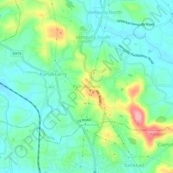
名前:Pattithanamの地形図、標高、地勢。
場所:Pattithanam, Meenachil, Kottayam, Kerala, 686631, India (9.67936 76.53563 9.71936 76.57563)
平均標高:38 m
最低標高:3 m
最大標高:123 m
その他の地形図
地図をクリックすると、その地形、その標高、その地勢が表示されます。