
Mount Inkerman地形図
地図をクリックすると標高が表示されます。
この地図について
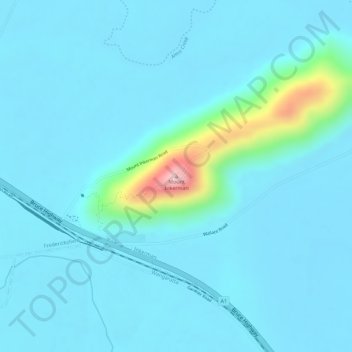
名前:Mount Inkermanの地形図、標高、地勢。
場所:Mount Inkerman, Burdekin Shire, Queensland, Australia (-19.74563 147.49569 -19.74553 147.49579)
平均標高:26 m
最低標高:1 m
最大標高:215 m
その他の地形図
地図をクリックすると、その地形、その標高、その地勢が表示されます。
City of Brisbane
Brisbane's topography is characterized by a series of hills and ranges that define its landscape. The city is situated on a low-lying floodplain, with the Brisbane River meandering through its heart, creating a winding course with many steep curves from the southwest to its mouth at Moreton Bay in the east.…
平均標高:71 m
Upper Kedron
Australia > Queensland > City of Brisbane
The proposed development responds to the site's topography by offering a range of living options, ranging from bush blocks, to lots designed for terrace-style dwellings.
平均標高:106 m
Sunshine Coast Regional
The Sunshine Coast Regional area in Queensland, Australia, features a diverse topography that ranges from coastal plains to rugged hinterlands. Along the coastline, the terrain is predominantly flat, with average elevations around 20 meters (66 feet) above sea level. Inland, the landscape transitions to…
平均標高:56 m