
Warwick地形図
地図をクリックすると標高が表示されます。
Warwick
Warwick has a humid subtropical climate (Köppen Cfa) with hot summers and cool to cold winters. It is slightly cooler and less humid than the proximate southeast Queensland coast due to its inland, elevation location. Frost is present in winter. The climate bears similarities with Richmond, an inland suburb of Sydney, in central New South Wales.
この地図について
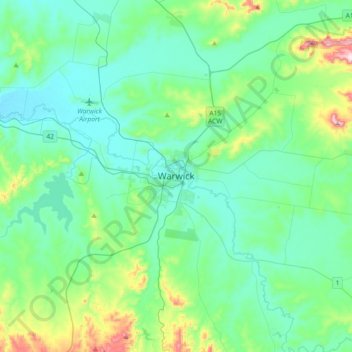
名前:Warwickの地形図、標高、地勢。
平均標高:517 m
最低標高:430 m
最大標高:903 m
その他の地形図
地図をクリックすると、その地形、その標高、その地勢が表示されます。